Drone fleets could find lost hikers in forests without using GPS
They'd use the same technology that guides self-driving cars.

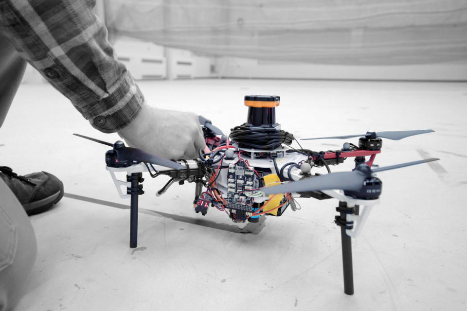
Drones can already be effective search and rescue tools, but not in densely-packed forests where the tree cover might block GPS signals. Thankfully, MIT has a clever solution: use the same technology that guides self-driving cars. Its researchers have developed drone tech that uses LIDAR to map forests without any use of GPS. Each drone creates a 2D map that also includes the orientations of trees, making it easy to tell where the robotic aircraft has already been as it searches through a specified area. That, in turn, makes it feasible to merge maps from an entire drone fleet and comb large swaths of forest with a minimum of wasted effort.
The drones are more efficient in how they search, too. Rather than simply telling the drones to cover the nearest unexplored area, MIT's method preserves as much of the drone's momentum as possible. This typically results in a spiral pattern that covers an area much faster -- important in a rescue mission when every minute counts.
There are limitations. The current system still needs an external ground station to merge maps, and it would need an object recognition system to identify people. MIT envisions future versions sharing maps when they come in contact, though, and object recognition is entirely realistic. If everything falls into place, the appeal will be obvious. Rescue teams could spot lost and wounded hikers in the woods without relying on large groups of people, and likely at a much faster pace.
